|
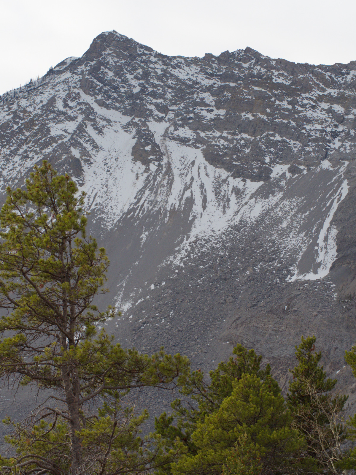
| Hope BC. That's a snow-capped mountain up in the clouds. |
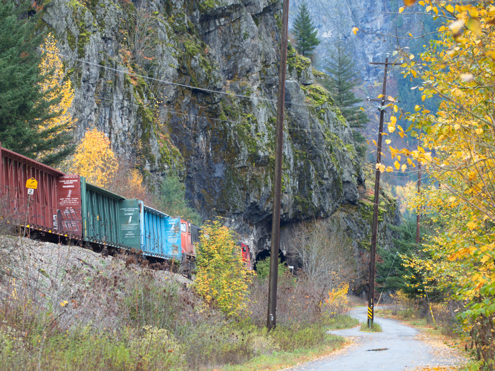
The five tunnels and bridges were constructed in 1914 for the Kettle Valley railway and today it's a rail trail well worth doing. This section of the train line followed the Coquihalla Canyon and the tunnels went through granite. At the time it was a significant engineering achievement. The canyon has high vertical walls covered in ferns, mosses and trees, the river flows fast over rocks in the narrow canyon with the sound of the water amplified by the cliffs, and the tunnels themselves are amazing.
 |
| Othello Tunnels |
 |
| Snowberry |

 |
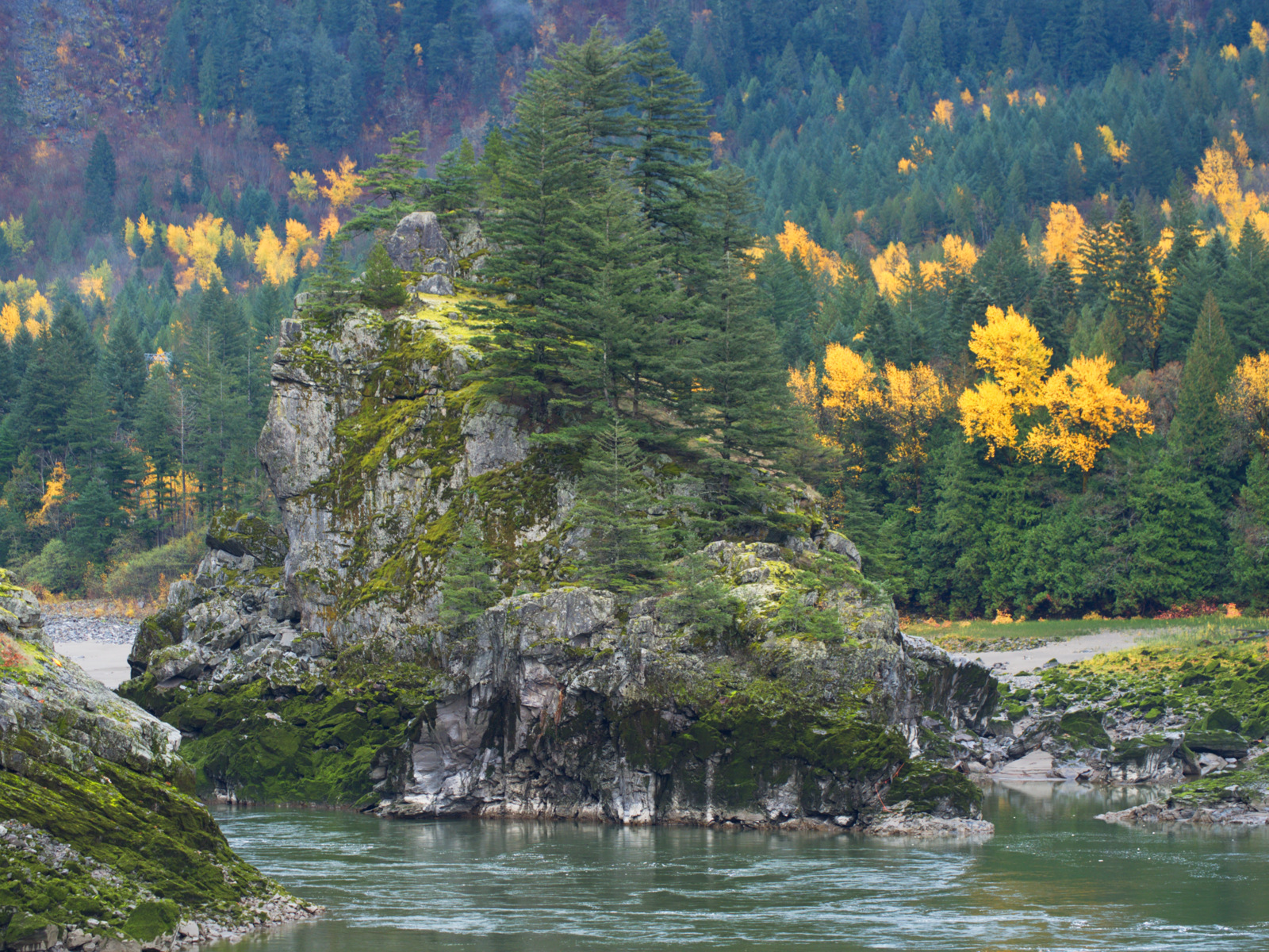
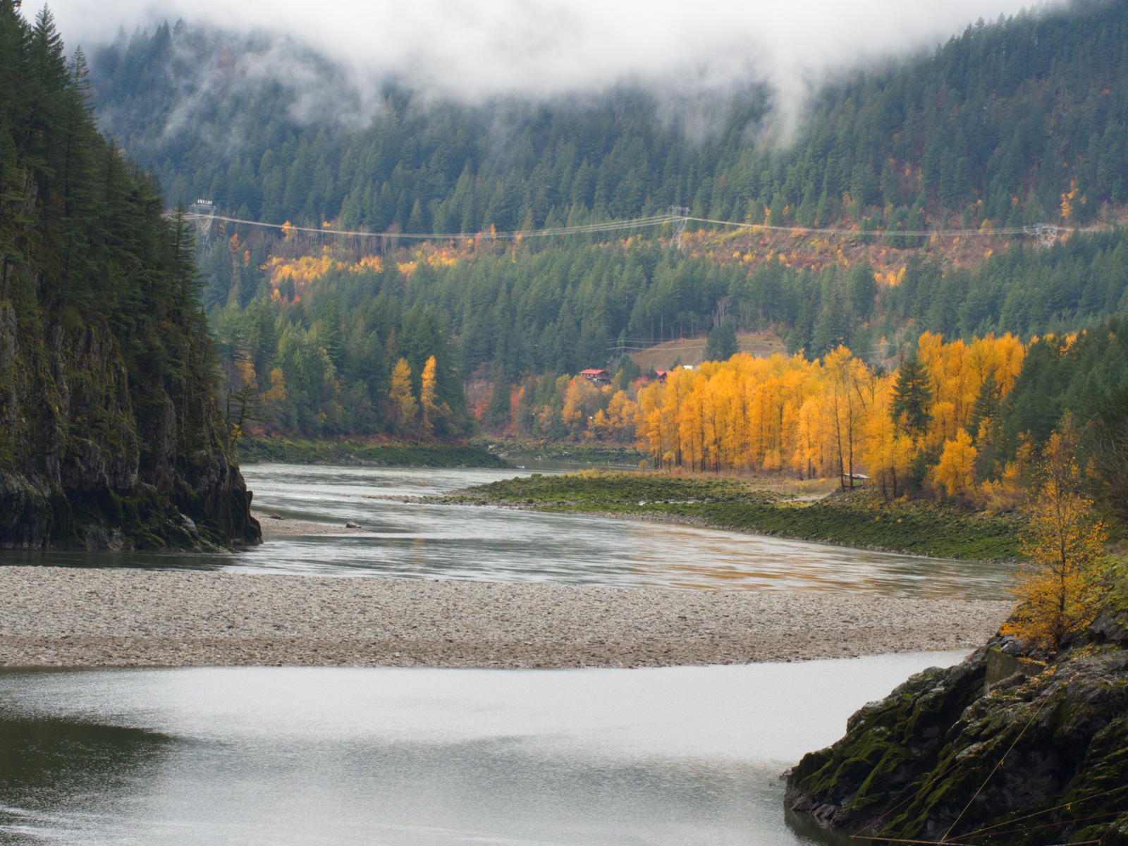
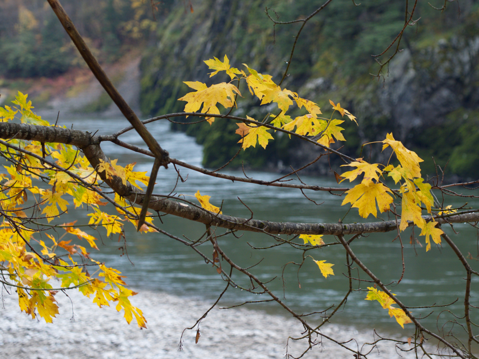
| Coquihalla River Canyon |

 |
| Coquihalla River Canyon |