 |
View from Whistler.
I think this is Mt Weart and the Armchair Glacier. |
From Squamish we drove up to Whistler ski resort, wandered through the pedestrian-only green and lanes, then drove further along Highway 99 to Lillooet.
Most of the driving is slow, 60 or 80 kmh, over passes and through valleys with beautiful lakes and waterfalls, with snow-capped mountains on either side. We kept stopping to admire the views so it was an even slower trip. There were signs saying that we were in avalanche territory, gates that closed the road when necessary, signs warning us that the corners could be icy or the hills slippery (glide areas they are called but if I was gliding towards a precipice I'd be calling it more than a glide!). None of the warnings concerned us though because the weather is glorious.
 |
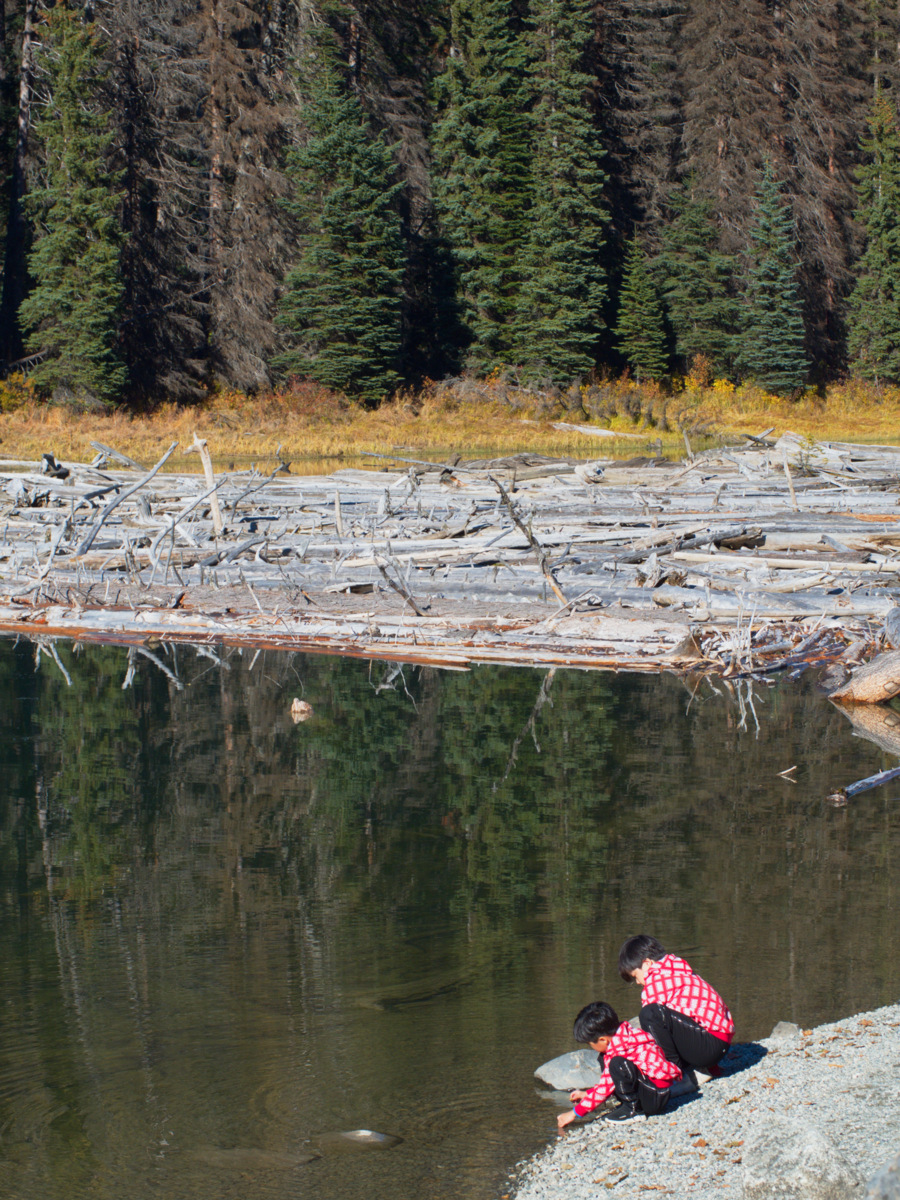
Lake with a log jam that appears to be natural.
None of the logs were sawn timber. |
 |
| We watched this little squirrel find his food (a cone possibly) then scurry into the culvert next to him, out the other end then into another culvert and out into the forest. All at top speed so he knew his route well. |
 |
| Lichen on a conifer tree. |
At Lillooet we encountered the mighty Fraser River and its valley and followed it for a while on our way to Kamloops via Cache Creek. On this stretch of the journey the geography opened out to big sky and big roads. It was getting quite late in the day so we hurried through unfortunately. If you look for Kamloops on the satellite view of Google Maps you'll see that it is in the area of British Columbia that is in the high grassland area between two snow-capped mountain ranges. There is a lot of interest here and we're not playing fair by moving on to the second range tomorrow but there just aren't enough hours sadly.
 |
| Kamloops Lake |


No comments:
Post a Comment